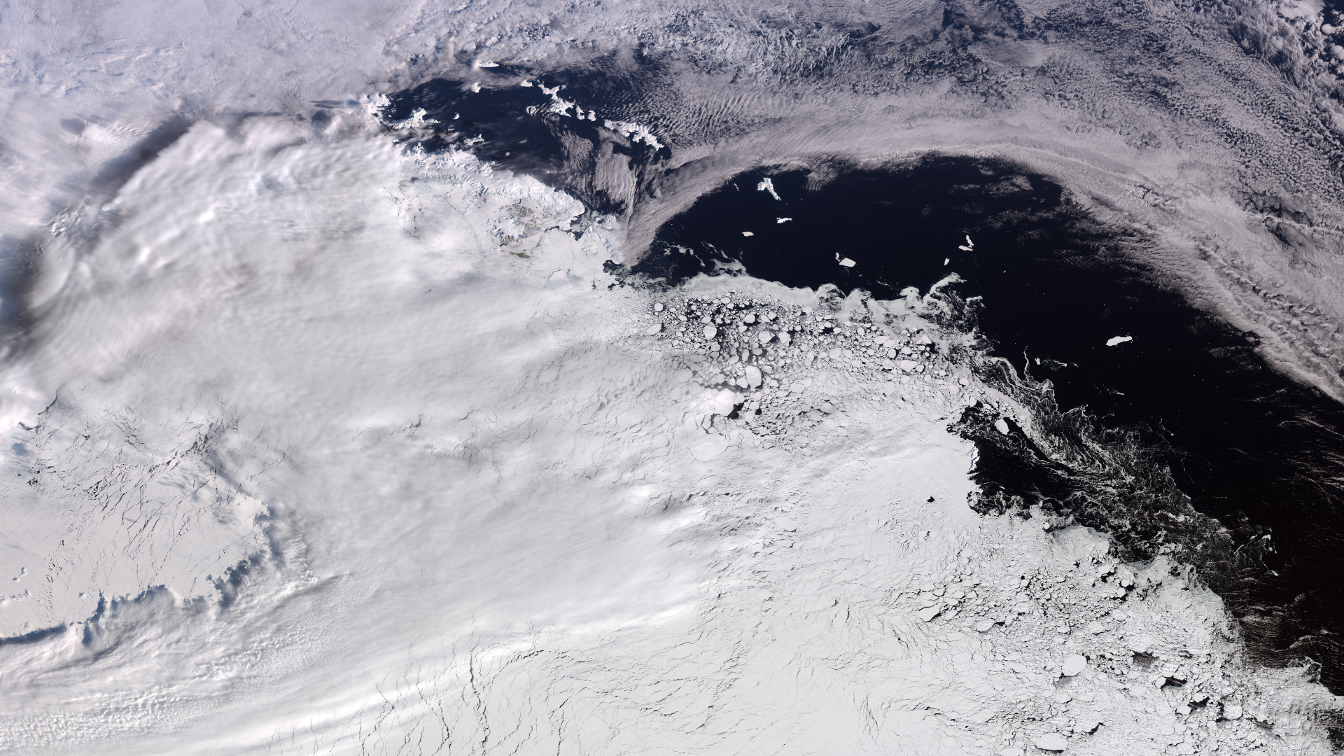
The Copernicus Sentinel-3 satellite captured a near-maximum sea-ice view of West Antarctica, including Elephant Island, on 30 September 2026.
Follow the storyOct4 stories
01Summary
- 01The European Space Agency's Copernicus Sentinel-3 satellite took the image on 30 September 2026.
- 02Elephant Island, named for its shape and its elephant seal population, is visible on the left.
- 03The photograph spans between 1,200 and 1,700 kilometres of the Antarctic coastline.
- 04The peak sea ice for Antarctica this year occurred on 14 September, according to the National Snow and Ice Data Center.
- 05Climate change is causing Antarctic sea ice to diminish, contributing to sea level rise.
02Why it matters
This image highlights the scale of Antarctic sea ice at its annual peak, which is critical for monitoring the effects of climate change on global sea levels and polar ecosystems.
Pulse AIAsk about this story
Answers are generated by AI from the story summary; they are not investment, health or legal advice.